
Last Updated:
What happens on the first visit
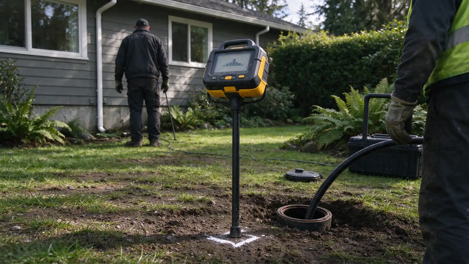
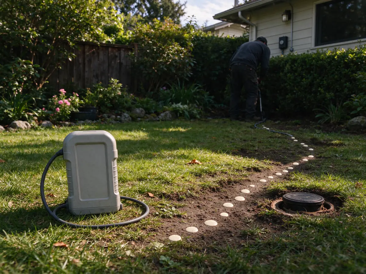
- Tracing from inside the pipeA sonde is pushed through the line from a cleanout or other access, and a receiver traces it from the surface. Points are marked with approximate depth along the route, including bends and where the line meets the property line or street.
- What to have readyKnow where the cleanout or access point is and clear the area. Have any sewer card, as-built or plat showing easements, and note why the location is needed: an inspection, a repair, a new structure or a planned dig.
- Limits of an electronic locateDepth readings are approximate and can be affected by soil, nearby metal and very deep pipe. A sonde can only go where the line is open, so a blockage or collapse stops the trace at that point. Records are not field proof.
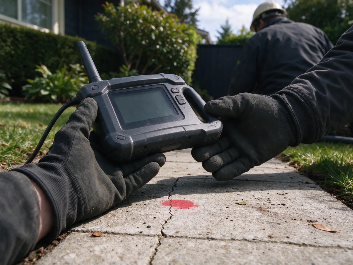
- What is recorded afterwardYou receive the marked points, approximate depths and where tracing stopped and why, ideally on a sketch or photos tied to fixed features. Any condition findings from a camera run are noted separately from the location record.
A sewer repair needs more than a distance written on a camera recording. Sewer line locating in Seattle relates the underground route and specific findings to the ground above them. That helps define where access may be required, what surfaces could be affected and which ownership or utility questions need resolving before work is scoped.
Douglas Sewer Line Repair Seattle provides locating as part of private sewer investigation and repair planning. Work is performed by fully licensed and insured contractors. The result should explain the route and the limits of the locating evidence, rather than turn an approximate position into a guarantee about every buried condition.
A sewer card and a field locate do different jobs
Historical sewer records can show a recorded route, connection or shared arrangement. They are valuable starting information, especially where the installed line crosses a property or joins another lateral. They do not establish that every part remains exactly where it was drawn or that no later repair changed the route.
Seattle’s side sewer card resource can help assemble that history. Compare it with the available cleanouts and actual camera findings. If the camera changes direction unexpectedly or finds a different material, preserve that discrepancy. Forcing the field evidence to fit an old drawing can turn a useful record into a misleading excavation assumption.
How a camera sonde helps relate pipe to surface
A locating transmitter associated with the inspection equipment provides a signal that can be investigated from the surface with a receiver. The contractor uses the equipment and access conditions to relate a position in the sewer to the area above it. That can help identify a defect, change of direction or potential access point without opening the entire route first.
It is important to state what was located. A marked camera position is not automatically a survey of the whole lateral or a utility-clearance plan for excavation. The inspection should identify its starting point and direction so the surface information can be understood alongside the recording. Equipment readings need interpretation; they should not be presented as proof that every nearby buried service has been identified.
Why the footage counter can mislead a digging plan
Camera distance follows travel through the pipe from the access. The pipe may turn, pass beneath a building or begin at a cleanout set away from the wall. Measuring the same number in a straight line across the lawn can therefore land in the wrong place. The counter is useful when its reference point is preserved, but it answers a different question from surface positioning.
A recording from another access point can show different distances for the same defect. Before comparing reports, establish whether both cameras started in the same place and traveled in the same direction. A disagreement in footage numbers may be a reference problem rather than a moving defect. This is especially relevant when a buyer receives an old inspection and then requests a second assessment.
Depth needs a property-specific investigation
No verified single depth describes every Seattle side sewer. Route, slope, grading, building position and prior changes can all affect the installation. An old drawing or a neighborhood’s age should not be used as proof of the actual cover above a pipe. Locating information can support planning, but its limits should be understood before it becomes an excavation allowance.
Where the exact position or elevation controls the work, ask how the contractor will confirm the necessary details. A repair near a footing, retaining wall or substantial hardscape can make a small location uncertainty consequential. The proposal should identify the expected access and how a materially different field condition will be documented before the scope expands.
| Information source | What it contributes | Limitation to keep visible |
|---|---|---|
| Sewer card or as-built | Recorded route and connections | Later changes or original inaccuracies may remain. |
| Camera footage counter | Travel distance from the inspection access | It is not a straight-line surface distance. |
| Sonde and receiver | Surface investigation of a camera position | Signal and site conditions need interpretation. |
| Utility information | Ownership and known public interfaces | Private route details may still need field confirmation. |
| Opened work area | Direct view of the exposed section | It does not describe unexposed pipe elsewhere. |
Locate the finding that changes the scope
A route map is useful, but the most valuable position can be the one that changes the repair decision. A localized defect beneath lawn suggests a different access plan from one beneath a driveway or building edge. A branch connection may determine whether work can stop at a particular point. An apparent street-side finding can trigger utility coordination before a private excavation is authorized.
Ask the contractor to connect each relevant mark to a finding in the recording. The work scope should identify the proposed endpoints and affected surfaces rather than simply promise to “locate sewer.” If the camera cannot reach the suspected defect, explain that at the start. An unreachable target may require a different access or investigation sequence, not an invented position beyond the inspection limit.
Shared routes and the street boundary need careful records
A shared sewer can carry flows from more than one property before it reaches the public connection. Locating should distinguish the branches from the common run where the available evidence permits. Recorded easements and agreements remain separate matters; a surface mark does not establish legal access or decide the neighbors’ respective obligations.
In Seattle, private responsibility can extend beyond the lot line toward the public-main connection. The SPU side sewer guidance helps identify the relevant regulatory interface. A defect near the roadway should be checked with the serving authority before assuming either private or public responsibility. Nearby jurisdictions may use different ownership boundaries, making the address and utility essential parts of the request.
Locating supports excavation but does not replace utility coordination
Knowing the sewer route helps plan a work area. It does not authorize digging or establish safe clearance from every other buried service. The proposed excavation still needs the applicable utility-location process, protective measures and access permissions. Customers should not open a test hole to confirm a mark themselves, particularly near structures or a public right-of-way.
The contractor also needs to consider the equipment route and what sits above the pipe. A seemingly short repair can involve hardscape, fences or restricted side access. Locating provides information for that discussion rather than a universal assurance that a small pit is possible. The excavation service explains how route information becomes a defined access and restoration scope.
Ask for a locating allowance that states its limits
There is no separately verified Seattle-wide locating-only price band in this project’s evidence. An accessible standalone camera inspection has a regional planning range of $250–$500, but that figure must not be presented as an inclusive locating price. Additional locating, difficult access or cleaning may be separately charged.
Ask whether locating is included with the inspection and which positions will be investigated. Confirm what happens if the signal cannot establish a usable surface position or the camera cannot reach the target. A clear limit is preferable to a precise-looking mark with no explanation. The repair cost guide keeps inspection, access and repair allowances separate so they are not counted twice.
Keep the reference points with the final proposal
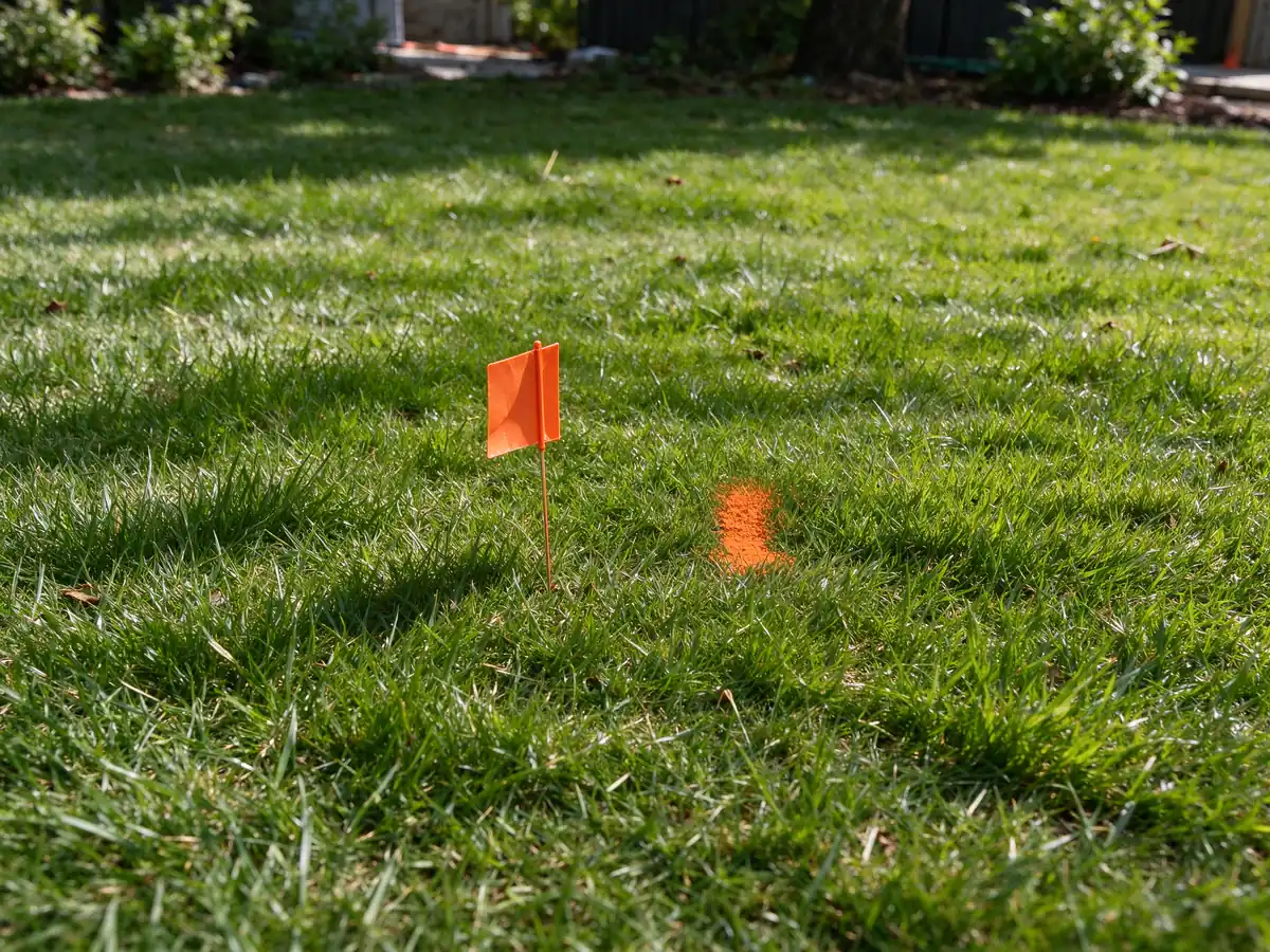
A useful project record identifies the inspection access, direction, footage reference and located findings. Photographs of surface marks can help explain the work area, but marks can disappear when paving, rain or landscaping changes the surface. Keep the recording and any supplied location notes with the proposed endpoints rather than rely on paint alone.
Get an Estimate with the property location and the decision the locate needs to support. Whether the concern is a driveway, an unclear shared connection or a defect near the street, the goal is to reduce uncertainty before authorizing the repair. The field evidence and its limits should remain understandable to the person comparing the scope.
What the scope should include
- Records review of sewer cards or as-builts
- Sonde tracing from a cleanout or access point
- Surface marks with approximate depth
- Notes on bends, property line and street crossing
- Stated limits where tracing could not continue
- Sketch or photos tied to fixed features
How sewer line locating compares with the alternatives
| Option | What it changes | What it leaves | Fits when |
|---|---|---|---|
| Sonde and receiver locating | Marks route and approximate depth from inside the pipe | Condition detail of the pipe | The pipe is accessible and a camera head or sonde can pass |
| Sewer card or records review | Shows the historical route and any easements | Actual depth and later changes in the field | A starting point; not proof of the current route |
| Public utility locate request | Marks public and franchise utilities near the dig | Most private sewer laterals | Before any digging; it is needed regardless |
| Exploratory digging | Confirms location by exposing the pipe | Most of the route still unseen | Electronic locating fails because of depth, material or access |
How sewer line locating moves from inspection to record
- Review recordsCheck sewer cards or as-builts for the likely route and easements.
- Access the lineEnter through a cleanout or other suitable access point.
- Trace and markFollow the sonde from the surface, marking route and approximate depth.
- Note the limitsRecord where tracing stopped or readings were uncertain.
- Record the resultProvide a sketch or photos tying marks to fixed features.
What this work looks like
Questions about this work
Can an old Seattle sewer card replace field locating?
It can explain the recorded route and connections, but later changes or original inaccuracies may remain. Compare it with camera findings and field information before using it to define a work opening.
Why can two recordings show different distances to the same sewer defect?
They may begin at different accesses or travel in different directions. Establish those reference points before assuming that different footage numbers describe different defects or that one report is wrong.
Does a sewer sonde locate every buried utility nearby?
No. It helps investigate the position of the relevant inspection equipment. A sewer locate is not a complete utility-clearance process and does not authorize excavation.
What should a sewer location mark be tied to?
The relevant camera position, access reference and finding. A mark without that context may not explain whether it identifies a defect, direction change, connection or proposed access point.
Can a location estimate guarantee a citywide standard sewer depth?
No single verified depth applies to every Seattle lateral. Actual routing, grading and prior changes matter. Ask how the information needed for the proposed excavation will be established for the property.
Is the standalone camera price also a locating-only price?
Not automatically. The published regional camera range may not include additional locating. There is no separate universal locating-only band asserted here, so the allowance and its limits should be confirmed.
Does a painted sewer route establish an easement across the next property?
No. Physical route information does not establish legal access rights. Keep the applicable records and agreements separate from the locating evidence when a shared or crossing route is involved.
What should be kept after temporary sewer marks fade?
Retain the access point, direction, recording and any supplied locating notes or photographs. Those reference points are more useful than relying only on paint that later disappears during weather or restoration.